
![]() HOW TO GET TO ITACARÉ
HOW TO GET TO ITACARÉ
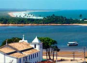
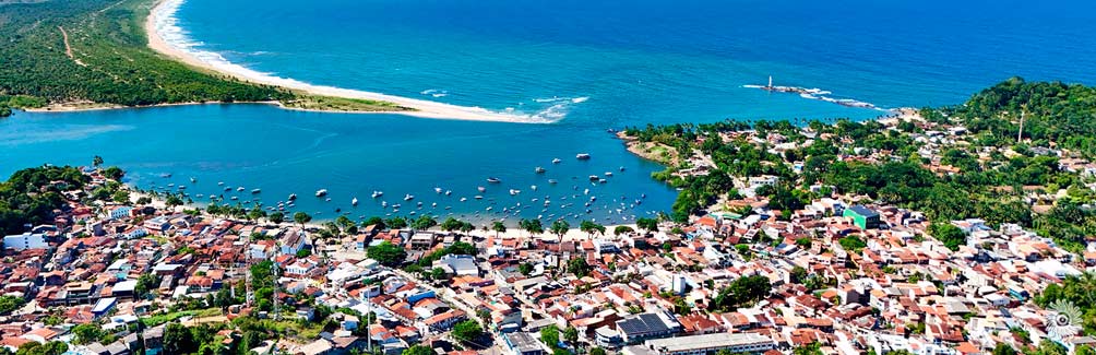
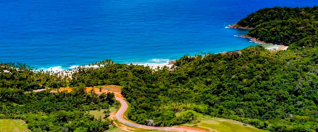
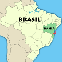
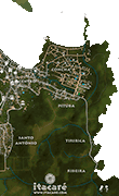
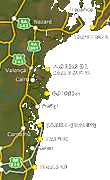
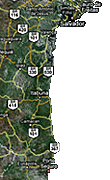
Itacaré is located in the cocoa zone of the state of Bahia, south of Salvador, 70 km north of Ilhéus. It is in Itacaré that the river Rio de Contas, which comes from the Chapada Diamantina, meets with the ocean. ➔MAP
 Distances from Itacaré to other Brazilian cities
| São Paulo | : | 1710 km | Salvador (BR-101) | : | 397 km | |
| Rio de Janeiro | : | 1329 km | Bom Despacho | : | 233 km | |
| Belo Horizonte | : | 1133 km | Porto Seguro | : | 370 km | |
| Brasília | : | 1358 km | Vitória ES | : | 814 km |
The geographic coordinates of Itacaré are:
14° 18' South, 39° 02' West
» Transport information
To get to Itacaré by air:
The nearest airport to Itacaré is Ilhéus (IOS). The closest international airport is in Salvador (SSA). It is served by most major international air companies. There are daily flies to Ilhéus from Salvador, Belo Horizonte and São Paulo by the Brazilian companies LATAM, GOL and AZUL.
At Ilhéus airport, you can rent a car or get a taxi to Itacaré.
 To get to Itacaré by land:
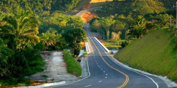
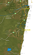
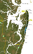
There is a paved road (BA-001) that directly links Ilhéus to Itacaré following the coastline. Coming from Salvador, the best way is to get the ferry-boat to Bom Despacho (Itaparica Island) and to go on by the road BA-001 till Itacaré.
Bus transport to Itacaré:
There are hourly buses from Bom Despacho (Itaparica Island) to Itacaré. The journey takes approximately 5 hours. Águia Branca and Cidade Sol are the most direct and quickest bus companies.
There are also buses leaving daily from Ilhéus, from 5:15 AM to 6:40 PM by the company Rota. Travel time is 1:40. There are other bus lines to Itacaré from Porto Seguro, Itabuna, Vitória da Conquista, Feira de Santana and the main cities around.


 este site em Português
 este sitio en Español
 ce site en Français